Across Mosaic, we’re using technology to improve our environmental performance, which includes reducing freshwater use and responsibly managing water at our sites. An example of this is our use of a new mobile application to collect, monitor and report real-time data about groundwater levels near our Florida mining operations.
ArcGIS Mobile Application – Improving Groundwater Management in Florida
Using a mobile application to collect, monitor and report piezometer data about groundwater levels is a significant time savings for our team and displays real-time data in a very user-friendly format. We’re able to instantly identify and respond to any potential concern.
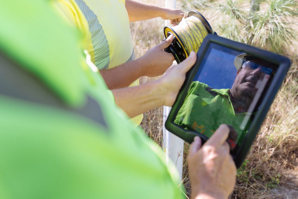
Our environmental field technicians in Florida collect thousands of piezometer readings across thousands of acres of Mosaic property each week to monitor groundwater levels near our Florida mining operations. This data was previously collected using pen and paper – with the technicians writing down the readings, then driving back to the office where the data would be manually re-entered into Mosaic’s systems.
Now, thanks to a mobile application – ArcGIS Collector – they enter that data directly into Mosaic’s systems while still out in the field. It is displayed in real-time on a dashboard that includes a map showing when and where each reading was collected.
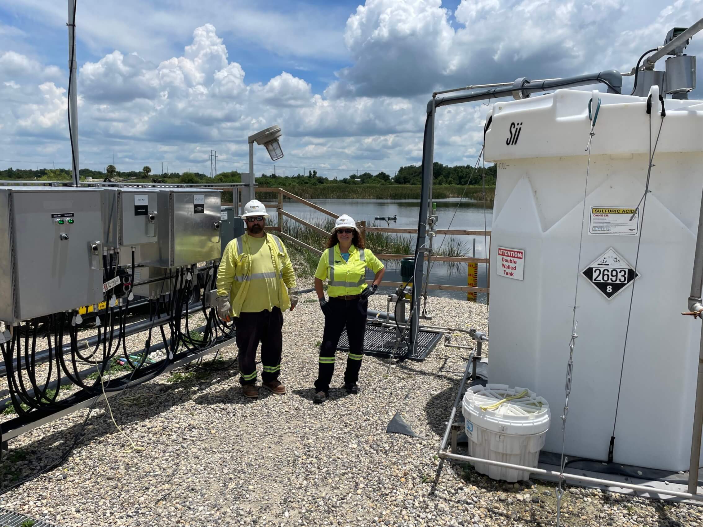
The data is used by our Water Management, Environmental and Site Management teams to monitor compliance with groundwater regulatory requirements. It is also reported to Southwest Florida Water Management District (SWFWMD), the organization that manages water resources for west-central Florida.
“This project will help us reach our 2025 sustainability target to reduce significant environmental incidents by providing quicker, more accurate, and expanded access to critical environmental compliance data about the management of groundwater,” said Devin Lawrence, Environmental Supervisor. “It allows our field technicians to formally report safety issues they encounter while collecting the data for quicker resolution at the facility level.”


